Pilgrimage for Peace, 2021
[This is the post-pilgrimage version of the page - see pre-pilgrimage version here]
You are here: Home > Pilgrimage for Peace, 2021
Introduction
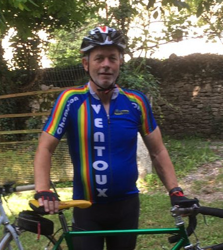
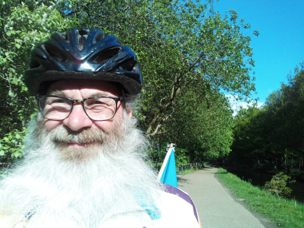
On 19th May, 2021, I finished five days of cycling, covering 277 miles, to raise money for two causes, Pax Christi, and Alzheimer's Research UK. I was riding in memory of my super-keen cyclist brother, Chris, who died last year of Covid.
The ride
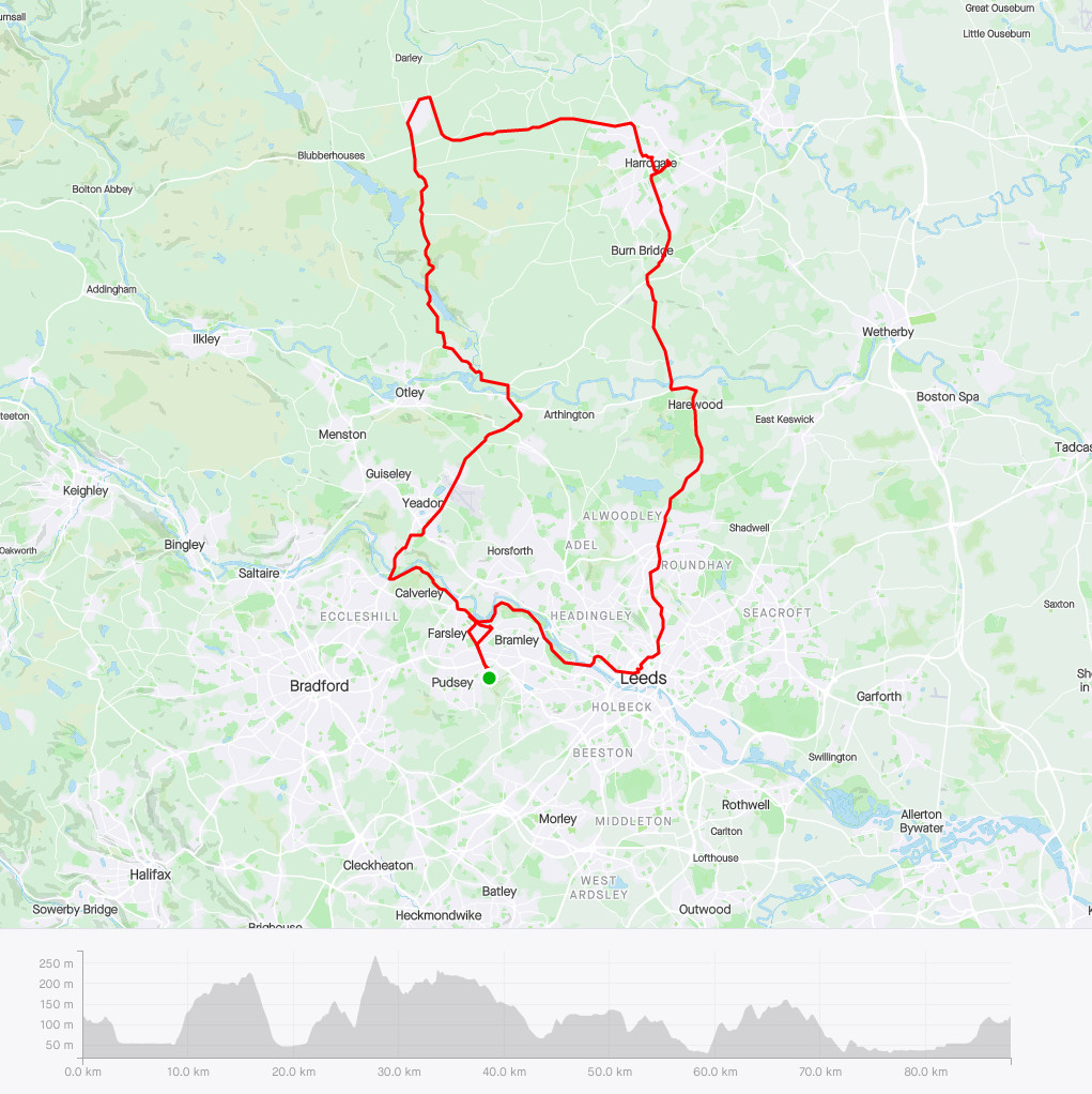
Day 1: I started on Saturday 15th May by riding to Bradford and indulging in some Strava art, 'drawing' a CND sign around the city - complicated navigation, plenty of hills, rain in the late morning.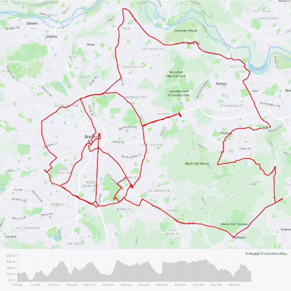
43 miles, 974 metres climbed, 4¼ hours of riding,*. Note the height profile - can you spot where my phone was off for a while? [Other day 1 pics coming soon!]
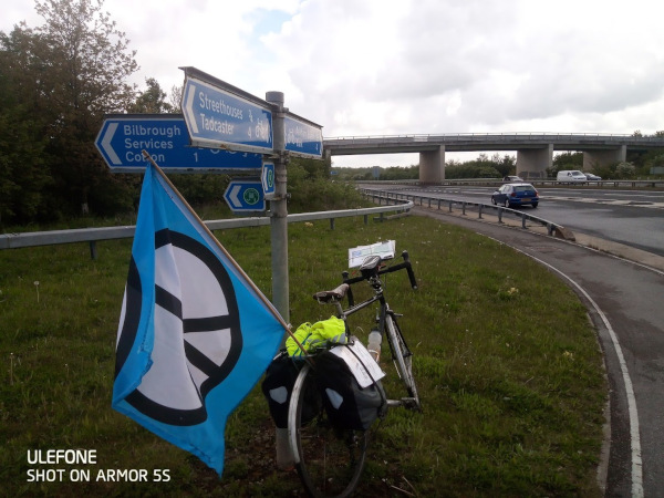
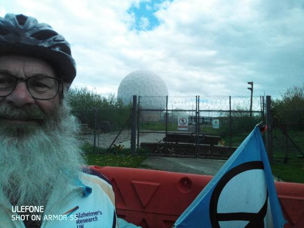
Day 2: The next three days were to reach RAF Fylingdales in North Yorkshire, part of the Ballistic Missile Early Warning System. So on Sunday I rode to York Minster & back via a very wet Wetherby - fairly flat, my fastest day.
A64
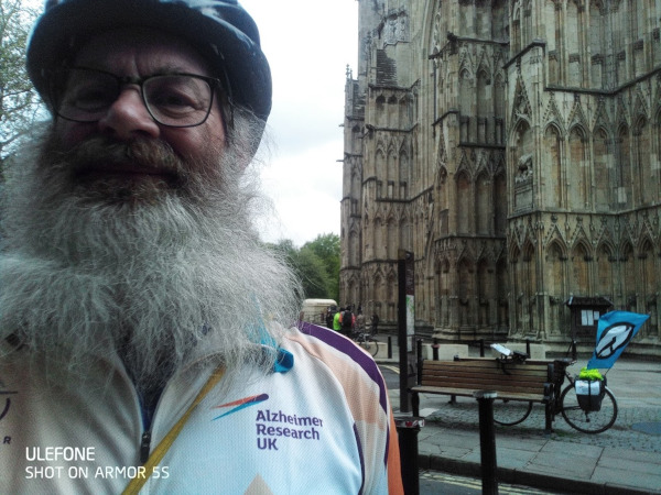
York Minster
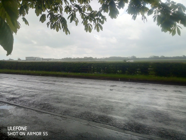
Wet wetherby Racecourse
62 miles, 762 metres climbed, 5 hours riding
Day 3: Monday involved driving to York, riding to Rievaulx Abbey, then heading back to York, & home. Two navigation errors meant I rode further than planned, and it took a lot longer! I noticed that North Yorkshire has some Very Steep Hills!
A very long tough day!!!
Distance 63 miles, Elev Gain 992 m Time 6h 43m
I made some errors on Monday!
a) started late, due to drive to York
b) didn't check that Google maps had done a nice roads/bike paths route - parts of it were very off-road - that's the 'path' behind the gate. Had to get off & push :-(
c) got lost, had to ride much further (the tale of woe continues...)
d) chose the 'footpath' not the road to go from Helmsley to Rievaulx; obstacles included gates, steps (lots down, 42 up), & 'footpath closed due to tree-cutting' (Full disclosure - it turned out no trees were being cut that day, so some people regarded the footpath as open ;-) From 3.30 it was so cold & wet, I wore about 6 top layers, including 2 jackets, gloves & mitts. No pics of the way back - phone camera not keen on being drenched :-(
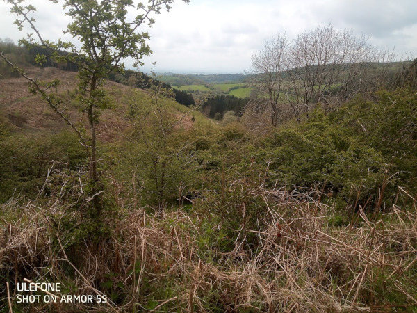
Near Helmsley - nice view but no road!!!
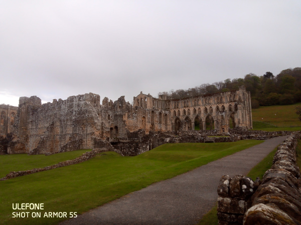
Reached Rievaulx Abbey, my 'lunch stop', at 3.15; then it started to rain...
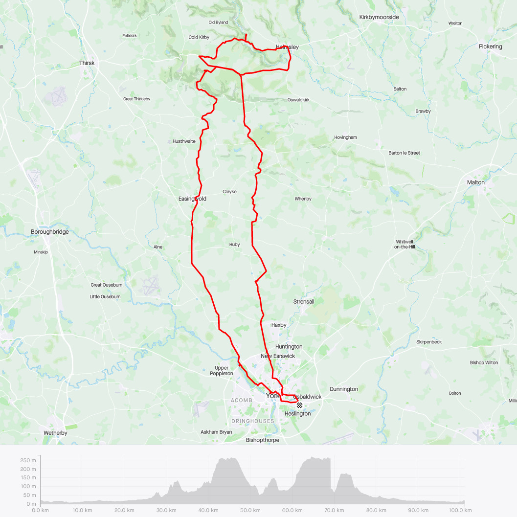
63 miles and 992 metres climbed in 6¼ hours
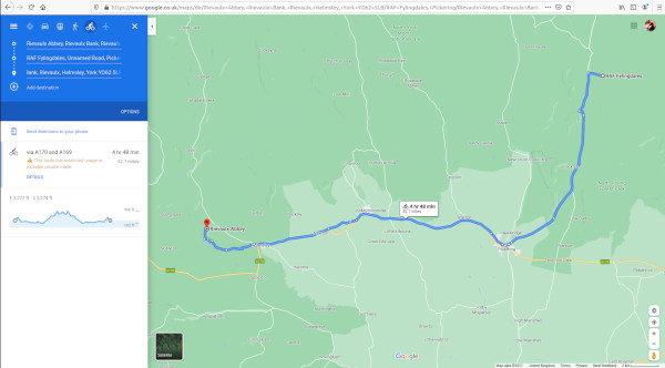
Day 4: On Tuesday, it was a similar car/bike trip, but starting/finishing the riding at Rievaulx Abbey, and reaching RAF Fylingdales an hour or so after lunch. Easy navigation - just as well, my phone died early in the day, hence only pictures from the start :(
The hills were generally gentler than day 3 - apart from the one between Rievaulx Abbey & Helmsley!!!
Downpour while driving to Rievaulx, overcast at 10.15...
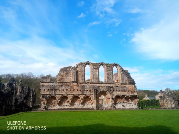
But 10 minutes later, blue sky!! Probably not a miracle, but very welcome.
53 miles, 649 metres climbed, 5 hours riding, and around 100 miles of driving too!
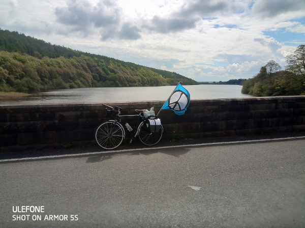
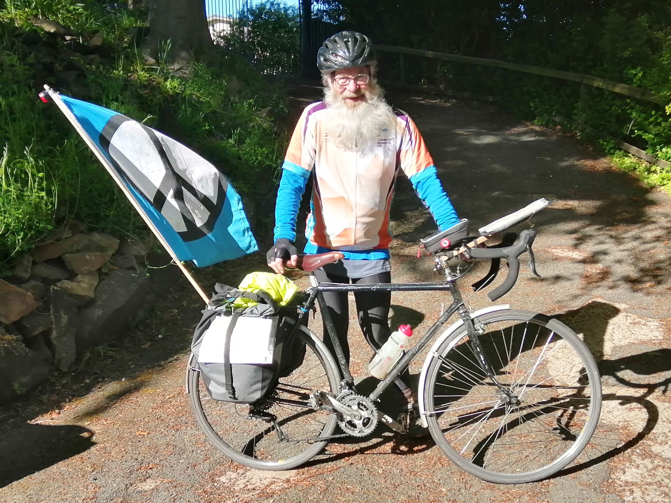
Day 5 was car-free - an uncomplicated but slow ride to RAF Menwith Hill, the US spy base near Harrogate. It included a tough Category 3 climb on the way there - Norwood Edge, where I averaged a shade over 5 km/h. Not wishing to tackle the same hill from the other side, I came back via Harrogate - busier roads, but kinder to tired legs! Lunch with brother-in-law and sister-in-law in Harrogate was a very welcome bonus.
Old school navigation
Ate a second breakfast at Lindley Reservoir
No-one guarding this gate, but the armed guards at the others gave a cheery wave.
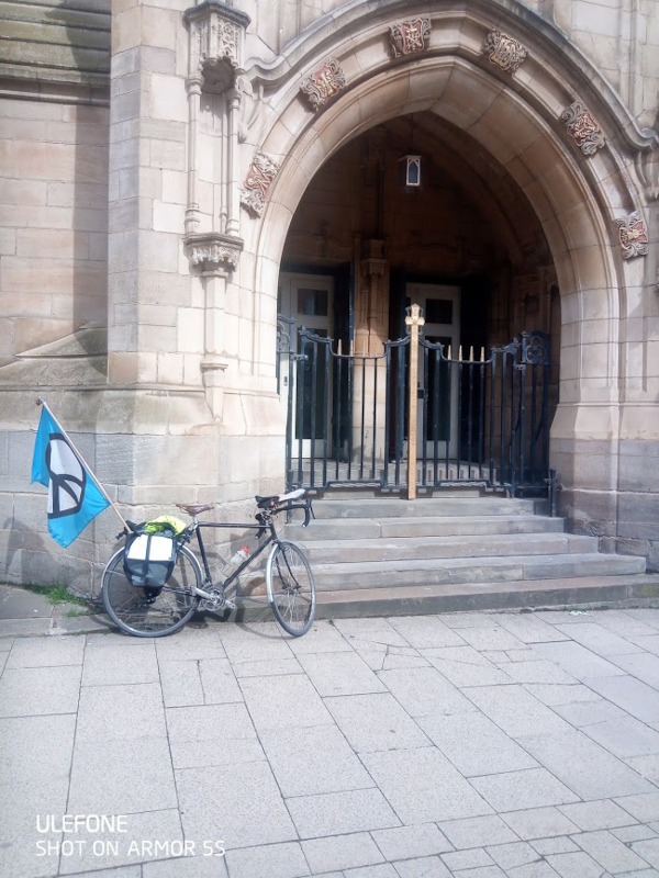
St Anne's Cathedral, where Chris & Jane were married in 1969. Lit candles.
Sunny towpath
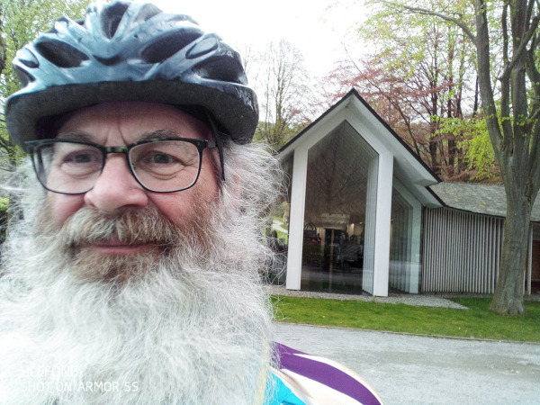
The pilgrim returns!
55 miles, 1126 metres climbed in 6¼ hours of riding. The hilliest day!
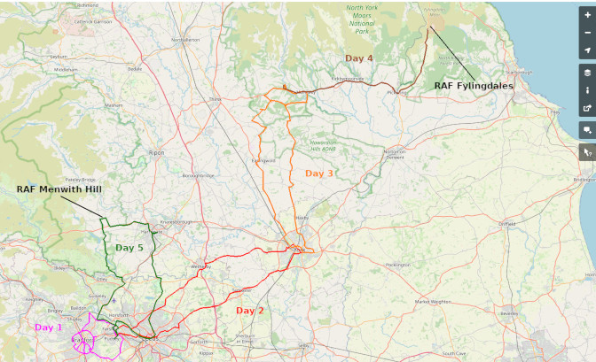
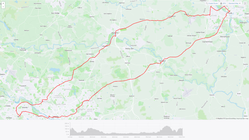
Map of the whole ride
Thoughts
I had thought that the five days might feel like being a part time pilgrim - coming home each night seemed a bit tame. However, the journey soon became my total focus, and especially on the days when I drove where I'd reached on the bike the day before, there didn't seem much part time about it! It was very handy having a meal ready prepared each evening, & my cycling clothes washed and dried - thank you Teresa! But out on the road, especially in the remote places, the trip did what a pilgrimage is supposed to do - it took me outside usual daily life, and give me time to think. I only did any thinking when it wasn't too uphill!
Memories
What memories will I take from this trip? Definitely I will think of the incredible generosity of those in receipt of my "Gimme your £££" messages! I will remember the cold and wet during a downpour on day 3 - I had 6 layers on top, and gloves! I will remember the birdsong, the peace and isolation of the North Yorkshire countryside, the glimpses of wildlife, and definitely, the kindness of strangers: the cyclist who stopped me on my second circuit of a loop near York Minster, and showed me the right road; the encouraging words of the couple walking their cats (yes cats!); the shopkeeper who lent me his phone so I could assure my wife that it was my phone which had died not me; the geniality of the heavily armed MOD policeman at Fylingdales - apparently I was already in the authorised personnel only area, but we nevertheless had a good chat about my trip, the reasons for it, and relatives we'd lost to Covid in 2020.
Lessons?
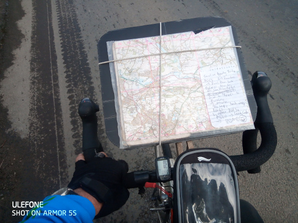
What would I do differently next time? A companion or two would be good; I would definitely check that the Google Maps lady was directing me along actual roads, not tracks only suitable for a mountain goat. I'd also have the OS maps before I set out rather than buying them the day after they would have got me to my destination in 45 minutes, rather than 3 hours!
What have I learnt? Day 3, 10 miles and many hours longer than planned, showed me that if you keep pedalling, you get there in the end. I think I already knew the way to get up hills - if it's too hard, change to a lower gear; if it's still too hard, and you are already in bottom gear, go slower! On the last day, when I was feeling a bit weary, I saw the next hill was steeper than 1 in 7 - but there was a fold in the map - I had no idea it was so long, and just kept going. Sometimes, we don't need to see the destination or the difficulties on the way, but just keep going! A lesson for peace makers, perhaps?
Tim Devereux
9 June 2021
PS: It's not to late to donate!!
![]()
To give to Pax Christi, go to https://tinyurl.com/PaxDonate
(NB: after you have put in the card details, there's a section...
![]()
To give to Alzheimer's Research UK, it's https://www.justgiving.com/fundraising/tim-devereux
Many thanks!
* I'm using the data about mileage and time from my bike computer, as the Strava data is less accurateon some of the days.